


Product Details
+
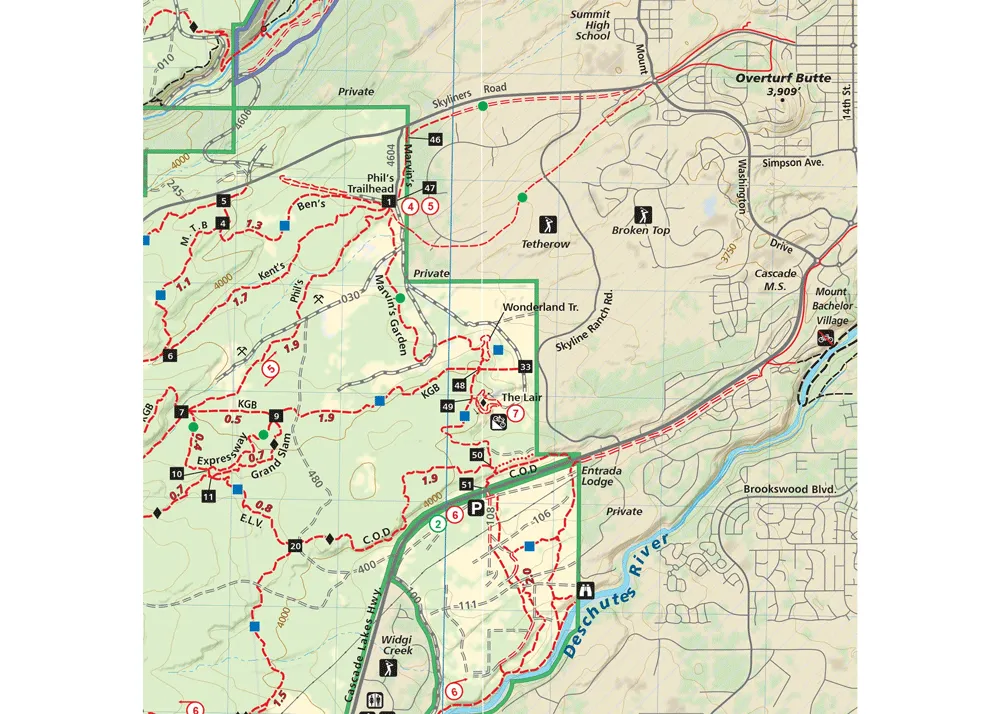
The Bend Area map (2022) is a waterproof, topographic map (lat/long, UTM grids) trail map that includes hiking & trail running, mountain biking, and XC skiing route descriptions covering the Bend area including Sunriver, Phil’s & Wanoga Trail Networks, Newberry Crater & Horse Ridge, Oregon Badlands Wilderness, Waldo & Cultus Lakes, and the Mt. Bachelor Bike Park. Central Oregon is renowned for its high desert climate and beauty. The area is a recreation paradise with mountains, rivers, forests, high desert and plenty of public access. The relatively moderate slopes of the mountains and ridges are especially well suited to mountain biking, hiking, trail running and cross-country skiing.


